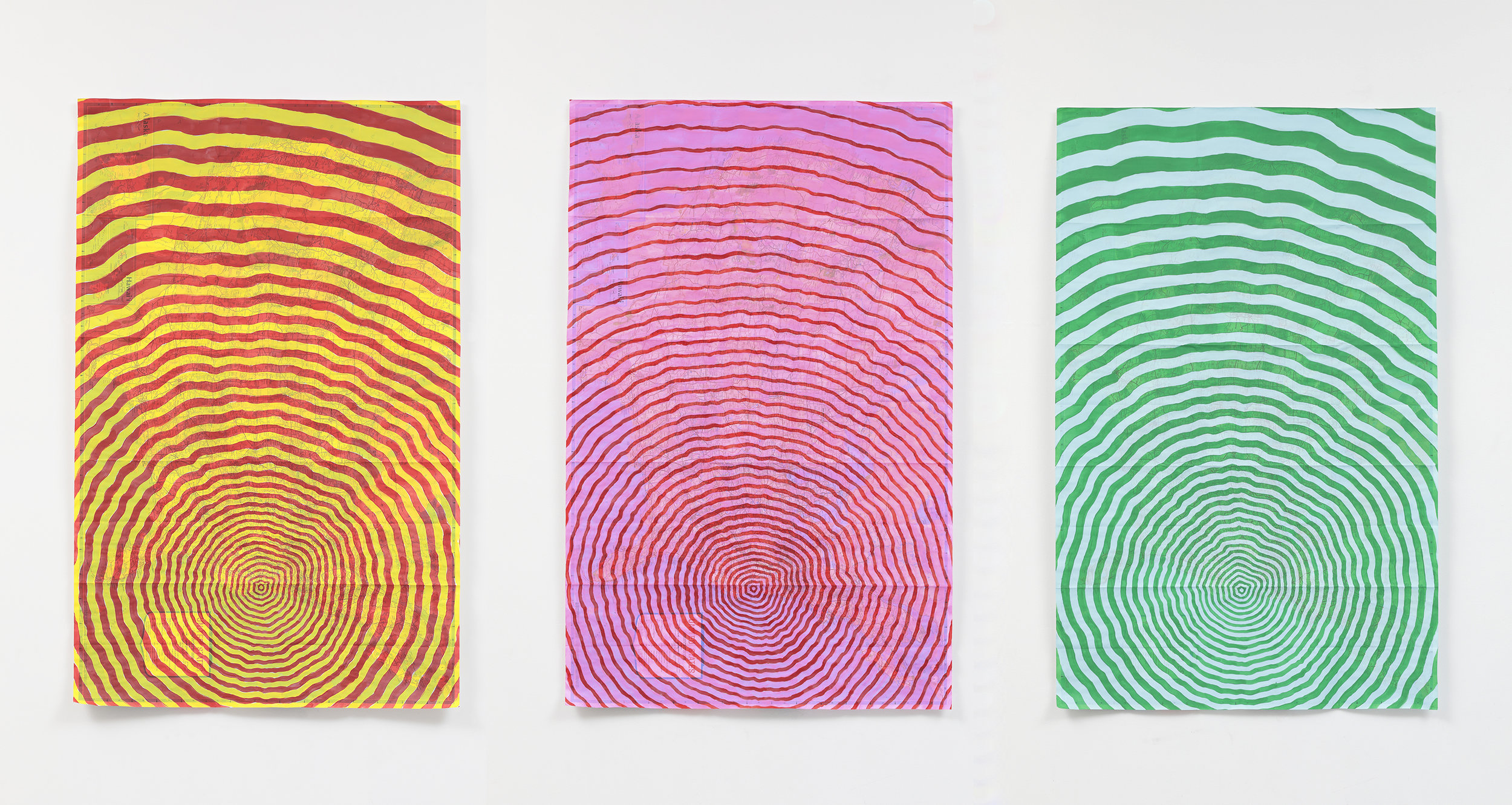
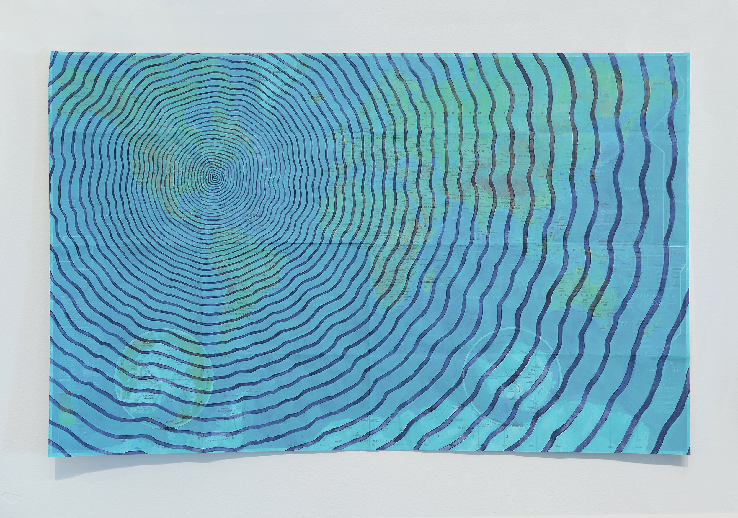
It happened 35 million years ago. A meteor the size of Manhattan sailed west over the Atlantic ocean, crashing directly into what is now the mouth of the Chesapeake Bay. The impact, considered one of the most significant in the history of the planet, cracked open the earth’s crust, tearing fault lines from Richmond to the continental shelf. A massive wall of water shot thirty miles high, sending waves past the Blue Ridge Mountains, with shockwaves that felled trees all the way to Yellowstone. The collision devastated the entire east coast, engulfing shores from Georgia to New England, sending a tidal wave careening back across the Atlantic ocean, flooding the western coastlines of Europe and Africa. The remaining crater, as deep as the Grand Canyon, now lies buried at the southern gateway to the Chesapeake Bay.
Using found maps, Arsenovic pinpoints the location of this ancient meteor strike in radiating colors chosen from her immediate landscape, nostalgic cartoons, and art history references. Sometimes rotated to mimic the cartographic tradition that orients maps from an entering ship’s perspective, these works explore the long range impact the mouth of the Chesapeake Bay has had on the American Story. One of the questions that continues to fuel this series is: If the mouth of the Chesapeake Bay could speak, what would it tell us?
The Virginian Sea, 2019, 13 x 15”, gouache, water collected from the banks of the Jamestown Settlement, the York River, and Point Comfort on reproduction map
Chesapeake Bay Impact Crater on VA Map, English Navy on Neon, 2019, 19 x 45”, Gouache and acrylic, water collected from the banks of the Jamestown Settlement, the York River, and Point Comfort on Virginia tourist map
Chesapeake Bay Impact Crater on 3 US maps, 2019, acrylic on map, 37x24” each
Chesapeake Bay Impact Crater on World Map (‘English Navy’ and ‘Aqua’), 2019, 15 x 24”, Acrylic on World Map


